The Directorate of Photogrammetry was established in 1950. Photogrammetric mapping is an on going job since inception of this directorate. Over the time new photogrammetric mapping equipment and techniques were introduced and now it is the most modern faculty of Survey of Pakistan, having all ranges of photogrammetric instruments. Mapping is gradually changing from aerial photographs to satellite images and other remotely sensed data. Photogrammetric surveying and mapping solutions and value added products are the main services of this directorate. In the beginning of last decade the directorate started enhancing its capacities and capabilities for meeting new demands of geospatial data by various stake holders and decision makers. To achieve above goals effective and efficient crew, software and hardware were introduced to come up with innovative solutions. Mission of the directorate is to increase productivity, boost efficiency, achieve accuracy standards, meet time and cost constraints to deliver digital mapping products.
Contacts
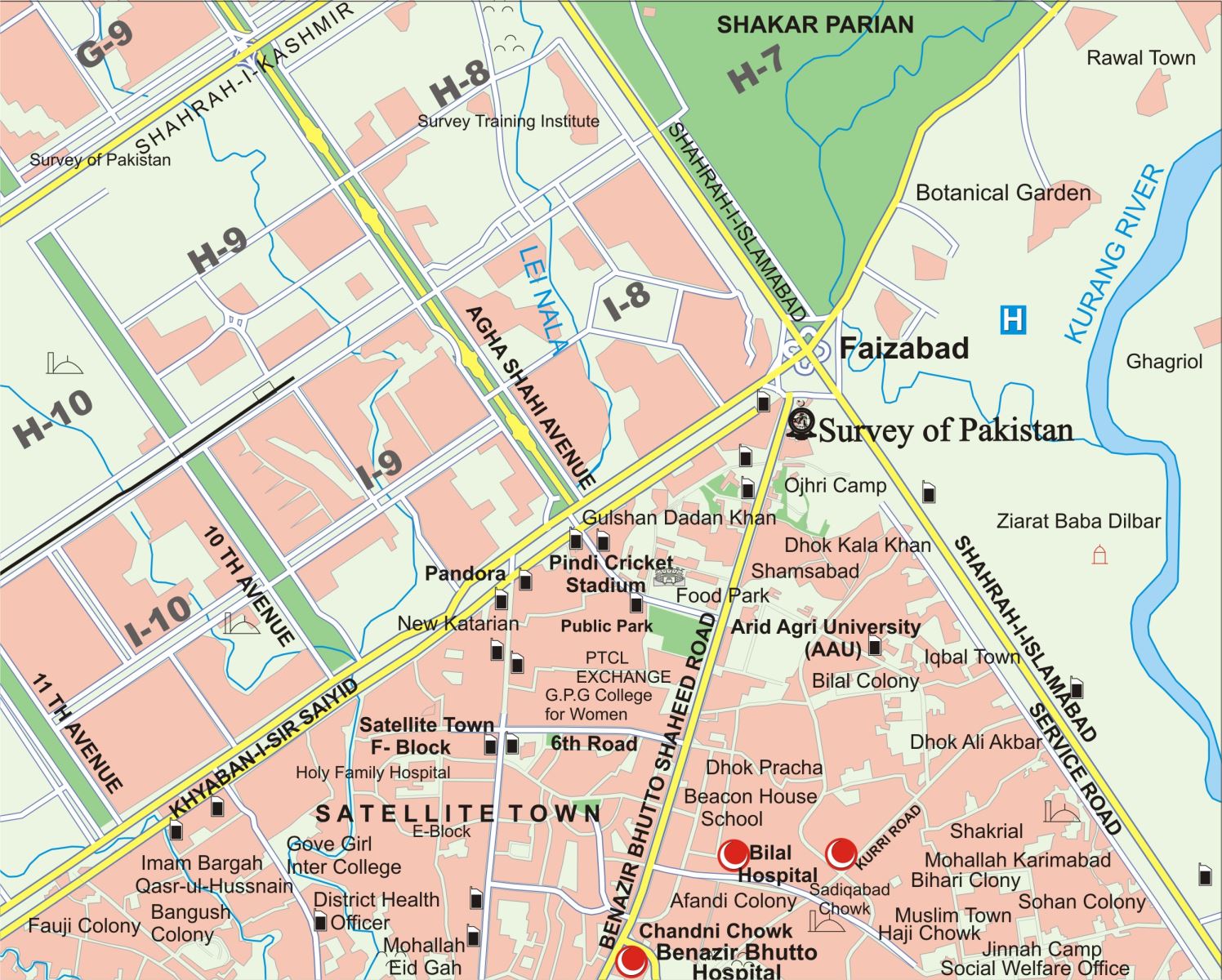
Survey of Pakistan
Faizabad, Murree Road Rawalpindi
Phone No:+92519290217
Fax No:+92519290212
Email:dp@surveyofpakistan.gov.pk